NWS Bismarck BIS
36 counties, 4 radars, one forecaster on the warning desk when it goes bad. This page is what that desk is looking at, plus the nets that feed it.
1 active · 0 warnings
NWS checked 11:26 PM- Wind AdvisoryModerate · NPWBIS · until Fri 5:00 AMDivide; Burke; Renville; Bottineau; Rolette; Williams; Mountrail; McHenry; Pierce; McKenzie; Dunn; Mercer; Oliver; Sheridan; Wells; Foster; Golden Valley; Billings; Stark; Burleigh; Kidder; Stutsman; Slope; Hettinger; Grant; Bowman; Adams; Emmons; Logan; La Moure; McIntosh; Dickey; Northwest Ward; Central and Southern Ward/Minot Area; Western McLean; Eastern McLean; Western Morton; Eastern Morton; Western Sioux; Eastern Sioux
Radar
NWS RIDGE · base reflectivity · last hour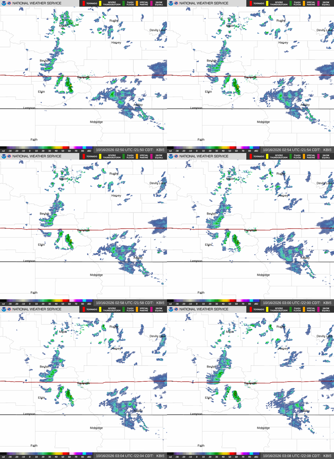
Deeper look: KBIS interactive ↗ · KBIS at College of DuPage ↗ · KMBX interactive ↗ · KMBX at College of DuPage ↗ - velocity, correlation coefficient and every tilt.

SPC outlook · day 1
categorical
Marginal → Slight → Enhanced → Moderate → High · day 2 ↗ · mesoscale discussions ↗
Reports taken by this office today
0 · SPC preliminaryCameras near the office
none listed yetRadar tells you what the storm is doing; these tell you what it looks like. Pictures open at their source - ODOT and the Mesonet allow linking, not republishing.
SKYWARN & weather nets for this office
Suggest or fix one →NOAA Weather Radio in this area
15 transmitters · this office’s first, neighbours afterWhat to report, and where
Size charts and the full guide →- ·Tornado on the ground (say if you see debris)
- ·Funnel cloud - rotating, not touching down
- ·Wall cloud, especially a rotating one
- ·Where it is relative to you, and which way it's moving
- ·The largest stone, compared to a coin or ball (chart below)
- ·1″ (quarter) is the severe threshold - smaller is still worth a report to most offices
- ·How long it fell and whether it's covering the ground
- ·Measured gusts of 40 mph+; 58 mph is severe
- ·Damage: trees down, limbs bigger than your arm, roof or structure damage, power lines
- ·Say whether it was measured or estimated
- ·Water over a road, especially moving water
- ·Creeks and rivers rising fast or out of their banks
- ·Rainfall of 1″ or more in an hour if you have a gauge
- ·Snowfall of 1″ an hour or more, and totals
- ·Freezing rain and ice accumulation on wires and trees
- ·Visibility under ¼ mile, blowing and drifting
- ·Lightning and thunder on their own
- ·Rain that isn't causing flooding
- ·Ordinary dark clouds, scud, or clouds that only look scary
- 1 · The net, if one is up
When the office activates SKYWARN, a net control on the local repeater takes reports in a set format and relays them straight to the forecaster. Listen first, check in when asked, keep it short: who, what, where, when.
- 2 · The office directly
No net running? Every office has a spotter line or online report form on its SKYWARN page - for you that’s NWS Bismarck. Trained spotters get the number in class; anyone can use the form.
- 3 · Tell the room here
/report hail quarter · 71st & Memorial in #nd-wx puts it in front of everyone watching the state. It does not reach the NWS - do 1 or 2 for that.