NWS Mobile MOB
20 counties, 4 radars, one forecaster on the warning desk when it goes bad. This page is what that desk is looking at, plus the nets that feed it.
Nothing active from this office
NWS checked 11:26 PMRadar
NWS RIDGE · base reflectivity · last hour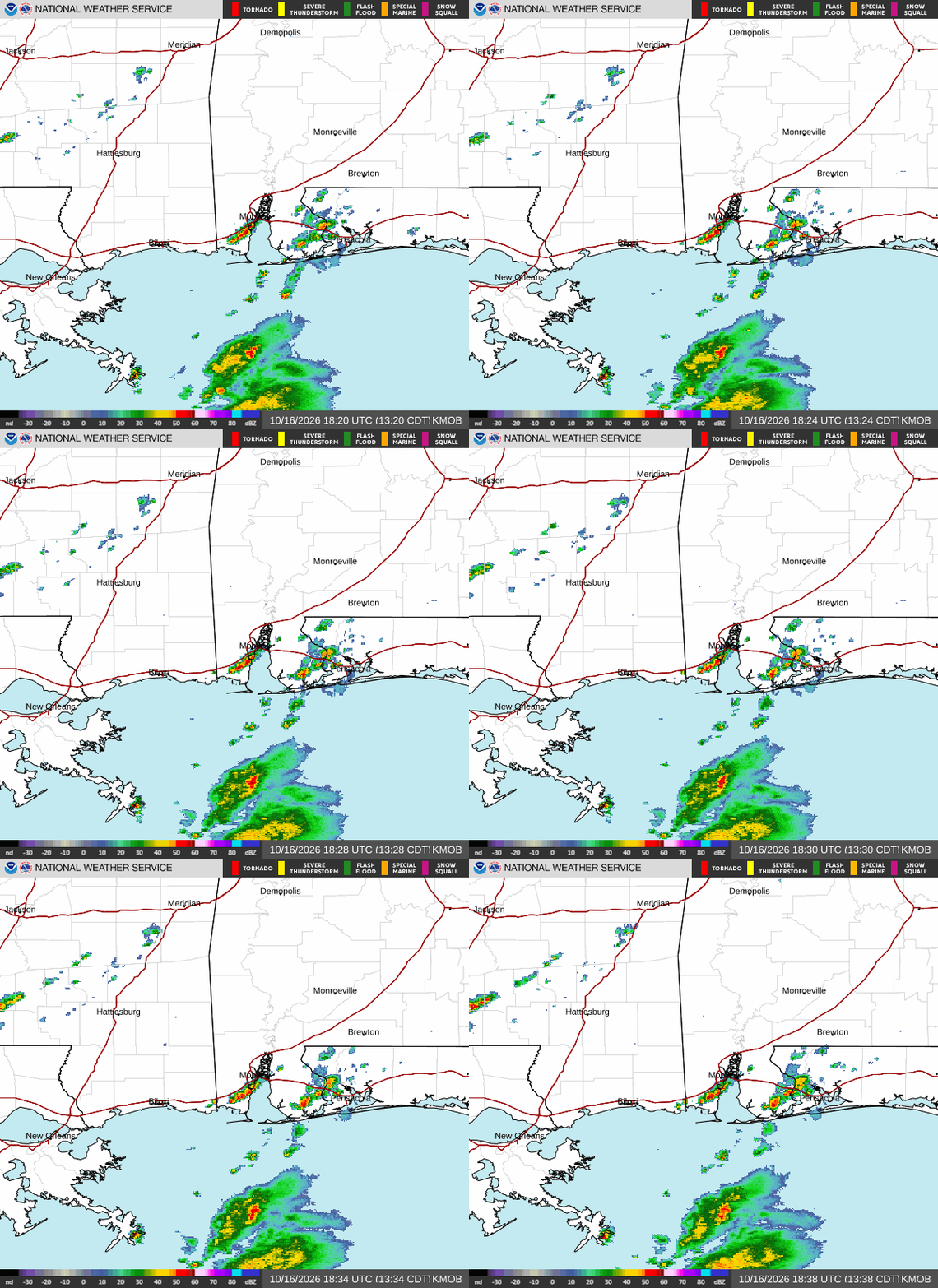
Deeper look: KMOB interactive ↗ · KMOB at College of DuPage ↗ · KBMX interactive ↗ · KBMX at College of DuPage ↗ - velocity, correlation coefficient and every tilt.

SPC outlook · day 1
categorical
Marginal → Slight → Enhanced → Moderate → High · day 2 ↗ · mesoscale discussions ↗
Reports taken by this office today
0 · SPC preliminaryCameras near the office
none listed yetRadar tells you what the storm is doing; these tell you what it looks like. Pictures open at their source - ODOT and the Mesonet allow linking, not republishing.
SKYWARN & weather nets for this office
Suggest or fix one →Citizen weather stations nearby
4 reporting within 200 mi · APRS, last 2 h| Station | Temp | Hum | Wind | Gust | Rain 24 h | Pressure | Dist |
|---|---|---|---|---|---|---|---|
| AI5BL | 80° | 55% | calm | - | - | 1019.9 | 55 mi |
| N5PA | 85° | 32% | calm | 1 | - | 1017.1 | 79 mi |
| W5XN | 74° | 82% | calm | - | - | 1015.9 | 95 mi |
| KM4CBK | 76° | 79% | calm | - | - | 1016.6 | 117 mi |
Heard on APRS-IS, receive only. These are privately owned stations reporting themselves — treat them as a hint about what the air is doing between the official sites, not as verified observations. Wind and gust are mph. See them on the map →
NOAA Weather Radio in this area
14 transmitters · this office’s first, neighbours afterWhat to report, and where
Size charts and the full guide →- ·Tornado on the ground (say if you see debris)
- ·Funnel cloud - rotating, not touching down
- ·Wall cloud, especially a rotating one
- ·Where it is relative to you, and which way it's moving
- ·The largest stone, compared to a coin or ball (chart below)
- ·1″ (quarter) is the severe threshold - smaller is still worth a report to most offices
- ·How long it fell and whether it's covering the ground
- ·Measured gusts of 40 mph+; 58 mph is severe
- ·Damage: trees down, limbs bigger than your arm, roof or structure damage, power lines
- ·Say whether it was measured or estimated
- ·Water over a road, especially moving water
- ·Creeks and rivers rising fast or out of their banks
- ·Rainfall of 1″ or more in an hour if you have a gauge
- ·Snowfall of 1″ an hour or more, and totals
- ·Freezing rain and ice accumulation on wires and trees
- ·Visibility under ¼ mile, blowing and drifting
- ·Lightning and thunder on their own
- ·Rain that isn't causing flooding
- ·Ordinary dark clouds, scud, or clouds that only look scary
- 1 · The net, if one is up
When the office activates SKYWARN, a net control on the local repeater takes reports in a set format and relays them straight to the forecaster. Listen first, check in when asked, keep it short: who, what, where, when.
- 2 · The office directly
No net running? Every office has a spotter line or online report form on its SKYWARN page - for you that’s NWS Mobile. Trained spotters get the number in class; anyone can use the form.
- 3 · Tell the room here
/report hail quarter · 71st & Memorial in #al-wx puts it in front of everyone watching the state. It does not reach the NWS - do 1 or 2 for that.